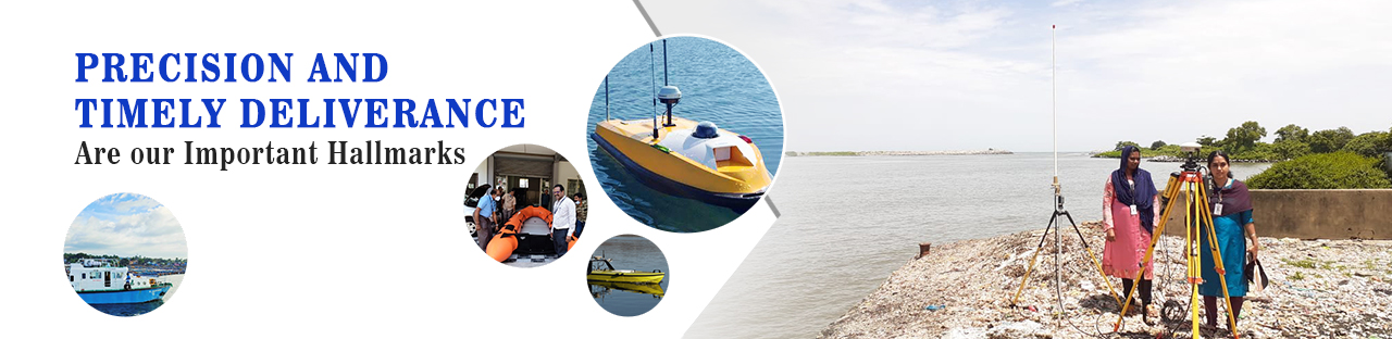


The Hydrographic Survey investigations consists of triangulation, coast lining on adjoining hinter land of the water mass, bathymetric observation, current observation of water at various depths, collection of water samples from various depths for various analysis, collection of sea bottom samples, determination of direction and velocity of water flow etc. The results of these investigations are presented by way of hydrographic charts both in digital and hard copy format. Such hydrographic charts give direct information on depth of overall water mass, underwater topography, contours, shore and land features and nature of bottom of water mass.
Scope of Hydrographic survey
Hydrographic Survey is inevitable for various purposes such as Navigational, Engineering and Investigational. The Navigational purpose includes location of safest navigational routes, surveys for coastal shipping and in land navigation. Surveys for periodical maintenance of water ways. location of submerged dangers such as wrecks, rocks, sand bars, renovation canals for navigation purpose etc.
Engineering purpose includes, port development, water resource development, pre & post dredging surveys, calculation of quantity to be dredged, estimation of dredging cost, channel marking, estimation of breakwater construction, canal survey etc.
Bottom sampling, bottom profile study, silt calculation and sedimentation effects, under-water contour depiction, study of tides and tidal stream, study of tidal effects on sea cost and estuary, designing and alignment fixation of breakwater, feasibility study for coastal Shipping, feasibility study of water bodies for Tourism developments and making Project Reports for the renovation of existing Navigation canals etc are the include in the category of investigational purpose.
On conducting the Hydrographic Survey of reservoirs, it could be ascertained the actual quantity of water and present bottom profile of the reservoir. It could easily be found out how much capacity of reservoir is reduced due to the sedimentation of silt. The Hydrographic Survey of waterways can find out wherever the dredging is necessary and quantity to be dredged. The Hydrographic Survey at various inland canals and lakes can find out the safest routes for boat service. Hydrographic Survey is unavoidable for finding the area where minimum dredging required, for fixing economical navigation routes.
