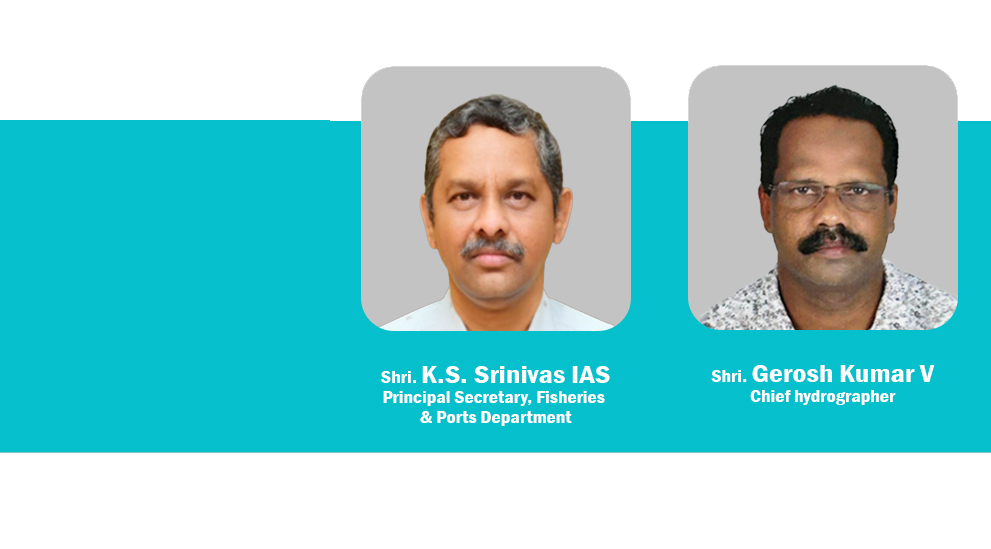
Hydrographic Survey Wing conducts hydrographic survey of sea, inland water bodies, reservoirs etc as and when requested for by other departments, agencies or private sector undertakings. The data received after survey work from the Range Offices are checked, compiled, computed and processed in the office of the Chief Hydrographer and finalize the Survey Charts and Reports. Hydrographic Survey Wing collects all hydrographic data and forward to the National Hydrographic Office for updating Navigational charts.
ABOUT HYDROGRAPHIC SURVEY WING
The Hydrographic Survey investigations consists of Datum transferring, coast lining on adjoining hinter land of the water mass, bathymetric observation, current observation of water at various depths, collection of water samples from various depths for various analysis, collection of sea bottom samples, determination of direction and velocity of water flow , navigation assistance,sedimentation surveys etc. The results of these investigations are presented by way of hydrographic charts both in digital and hard copy format. Read More..
News Flash
മത്സ്യബന്ധന തുറമുഖ (ഡി) വകുപ്പ് സ ഉ (സാധാ) നം 636 / 2025 എഫ് &പി
ദർഘാസ് നോട്ടീസ് നം HSW/250/2025-B2 തീയതി: 26-04-2025
Notice Regarding the quotation of graduate engineers as part of the e-governance second phase.
കോട്ടപ്പുറം അസിസ്റ്റന്റ് മറൈൻ സർവേയർ ഓഫീസിലെ എം വി ദർശക് എന്ന സർവ്വേ വെസ്സലിന്റെ പോർട്ട് സൈഡ് എഞ്ചിനിന്റെ അടിയന്തിര അറ്റകുറ്റ പണികൾ
വിവരാവകാശ നിയമം 2005 (RTI Act 2005) - 2022- 2023 ലെ വാർഷിക റിപ്പോർട്ട്
Kerala institute of hydrography and advanced studies
Courses :
1)Total Station + GPS + AutoCAD
2) .Basic Hydrographic Survey
For details- http://kihas.org/
contact-0484-2701187
Applications are invited from experienced hands in hydrographic Surrvey and allied fields for filling the post of faculty in Kerala Institute of Hydrography and Advanced Studies, Panangad, Kochi, Kerala
For details- http://kihas.org/
MARINE ELECTRONIC COURSE
QUALIFICATION - PLUSTWO SCIENCE
DURATION - 03 MONTHS
ADMISSION - OCTOBER 2023
COURSE CENTRE - KIHAS SUB CENTRE PONNANI

Locate us


